Intercommunality Grand Lussan Area 16.43 km² Local time Friday 1:21 AM | Region Occitanie Canton Lussan Time zone CET (UTC+1) Population 182 (1999) | |
 | ||
Weather 12°C, Wind N at 19 km/h, 62% Humidity | ||
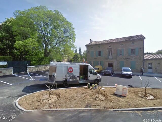
La Bruguière is a commune in the Gard department in southern France.
Contents
Map of 30580 La Brugui%C3%A8re, France
Geography
Equidistant from the Cévennes and from the Mediterranean ocean, between the rivers of the Cèze and the Gardon, close to the larger cities of Avignon, Nimes and Alès, as well as Uzès, the village has been a historical center in the region for centuries. La Bruguière is essentially an agricultural village despite its small touristic interest. It has a population of 304 inhabitants.source?
Places and Monuments
References
La Bruguière Wikipedia(Text) CC BY-SA
