
Country France Canton Roquevaire Area 12.61 km² Local time Friday 1:13 AM | Time zone CET (UTC+1) Population 4,904 (1999) | |
 | ||
Intercommunality Pays d'Aubagne et de l'Etoile Weather 12°C, Wind W at 14 km/h, 70% Humidity | ||
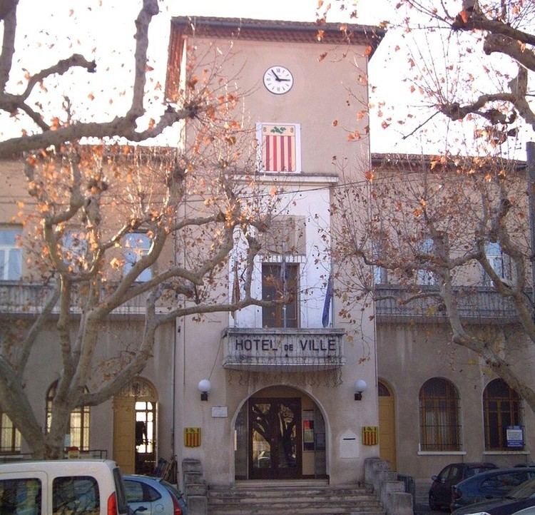
La Bouilladisse is a commune in the department of Bouches-du-Rhône in the Provence-Alpes-Côte d'Azur region of France.
Contents
Map of 13720 La Bouilladisse, France
Geography
A small residential town of forestry, farming and a little light industry situated in the valley of the small river Merlançon, some 14 miles (23 km) northeast of Marseille at the junction of the D8 with the D45e and D96 roads. The A52 autoroute skirts the south-western border of the commune’s territory. A TER rail service connects the town with Aix and Marseille.
History
The commune was created on 6 July 1880 as La Bourine, when it was separated from the neighbouring village of Auriol. It adopted its current name on 20 January 1910.
Sights
References
La Bouilladisse Wikipedia(Text) CC BY-SA