
Time zone CET (UTC+1) Population 153 (1999) | Region Normandy Area 10.14 km² Local time Friday 12:43 AM | |
 | ||
Intercommunality Balleroy Le Molay-Littry Weather 11°C, Wind S at 3 km/h, 99% Humidity | ||
La Bazoque is a French commune in the Calvados department in the Normandy region of north-western France.
Contents
- Map of 14490 La Bazoque France
- Geography
- Mapping
- Toponymy
- Administration
- Demography
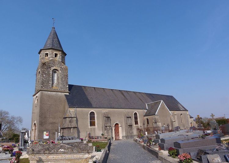
- Sites and monuments
- References
Map of 14490 La Bazoque, France
The inhabitants of the commune are known as Bazocains or Bazocaines.
Geography
La Bazoque is located some 13 km east by north-east of Saint-Lô and 20 km south-west of Bayeux. The southern tip of the commune is the departmental border with Manche. Access to the commune is by the D229 from Litteau in the west which passes through the commune and the village and continues west to join the D28 south of Balleroy. The D122B from Litteau passes through the south of the commune and goes east then south towards Montrabot. The D122 road forms the whole western border of the commune. Apart from the village there are the hamlets of La Nellerie, Le Mesnil, La Londe, and Promenant. The commune is entirely farmland.
The Drôme river forms the eastern border of the commune as it flows north to join the Aure just north of Maisons. Several streams, including the Ruisseau de la Bindoure, flow through the commune and join the Drome.
Mapping
A list of online mapping systems can be displayed by clicking on the coordinates (latitude and longitude) in the top right hand corner of this article.
Toponymy
La Bazoque appears as La Bazoque on the 1750 Cassini Map and the same on the 1790 version.
Administration
List of Successive Mayors
(Not all data is known)
Demography
In 2012 the commune had 162 inhabitants. The evolution of the number of inhabitants is known from the population censuses conducted in the commune since 1793. From the 21st century, a census of communes with fewer than 10,000 inhabitants is held every five years, unlike larger communes that have a sample survey every year.
Sources : Ldh/EHESS/Cassini until 1962, INSEE database from 1968 (population without double counting and municipal population from 2006)