Canton Mas-d'Azil Area 10.22 km² Population 294 (1999) | Region Occitanie Time zone CET (UTC+1) Local time Friday 12:39 AM | |
 | ||
Weather 8°C, Wind SW at 2 km/h, 92% Humidity | ||
La Bastide-de-Besplas is a French commune in the Ariège department in the Occitanie region of south-western France.
Contents
- Map of 09350 La Bastide de Besplas France
- Geography
- Mapping
- History
- Administration
- Demography
- Religious heritage
- Notable people linked to the commune
- References
Map of 09350 La Bastide-de-Besplas, France
The inhabitants of the commune are known as Besplasois or Besplasoises.
Geography
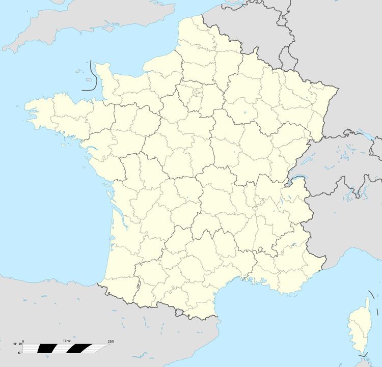
La Bastide-de-Besplas is an old Bastide located in the Massif de Plantaurel some 50 km south by south-west of Toulouse and 20 km west by north-west of Pamiers. Both the northern and southern borders of the commune are the departmental border with Haute-Garonne. Access to the commune is by the D628 from Montesquieu-Volvestre in the north-west which passes through the centre of the commune and the village and continues south-east to Daumazan-sur-Arize. The D326 branches off the D628 in the commune and goes north to join the D408 north of the commune. The commune is mostly farmland interspersed with some forest.
The Arize river flows through the centre of the commune and the village flowing from south-east to north-west where it continues to join the Garonne at Carbonne. The TaiVades stream rises in the north of the commune and flows north-west forming part of the northern border before joining the Arize on the commune border. The Ruisseau de Bergou forms the south-eastern border as it flows south-west to join the Arize. The Ruisseau d'Argain forms the southern border of the commune as it flows east to join the Arize in Daumazan-sur-Arize commune.
Mapping
A list of online mapping systems can be displayed by clicking on the coordinates (latitude and longitude) in the top right hand corner of this article.
History
La Bastide-de-Besplas appears as la Bafude de Besplas on the 1750 Cassini Map and as la Bailute on the 1790 version.
Administration
List of Successive Mayors
(Not all data is known)
Demography
In 2010 the commune had 390 inhabitants. The evolution of the number of inhabitants is known from the population censuses conducted in the commune since 1793. From the 21st century, a census of communes with fewer than 10,000 inhabitants is held every five years, unlike larger communes that have a sample survey every year.
Sources : Ldh/EHESS/Cassini until 1962, INSEE database from 1968 (population without double counting and municipal population from 2006)
Religious heritage
The Chapel of Notre-Dame-du-Bout-du-pont (1663) is registered as an historical monument.
The Chapel contains many items that are registered as historical objects:
The Parish Church also contains many items that are registered as historical oobjects:
