
Time zone UTC -3 Dial plan +598 42 (+6 digits) | Postal code 20001 Climate Cfb | |
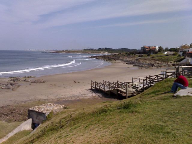 | ||
La Barra is a resort in the Maldonado Department of southeastern Uruguay.
Contents
- Map of La Barra Maldonado Department Uruguay
- Surf en la barra punta del este 05 julio 2015
- Location and geography
- Population
- Places of worship
- Attractions
- References
Map of La Barra, Maldonado Department, Uruguay
Surf en la barra punta del este 05 julio 2015
Location and geography
The resort is located on Route 10, south of its junction with Ruta Interbalnearia. Its west coast is on the mouth of Arroyo Maldonado, while its south coast in on the Atlantic Ocean. It lies just across San Rafael - El Placer to the west, with which they are connected with the nearby bridge Puente de Barra de Maldonado, famous for its architecture. It borders the resort El Tesoro to the northwest and to the east a neighbourhood called "Barrio San Carlos", which lies just west of the resort Manantiales.
Population
In 2011 La Barra had a population of 339 permanent inhabitants and 1,210 dwellings.
Source: Instituto Nacional de Estadística de Uruguay
Places of worship
Attractions
References
La Barra Wikipedia(Text) CC BY-SA