
Time zone UTC -3 Dial plan +598 4479 (+4 digits) Local time Thursday 8:17 PM | Postal code 27002 Climate Cfb Population 1,090 (2011) | |
 | ||
Weather 22°C, Wind S at 14 km/h, 89% Humidity | ||
Delfines en la aguada y costa azul rocha
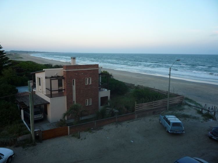
La Aguada y Costa Azul is a village in the Rocha Department of southeastern Uruguay.
Contents
- Delfines en la aguada y costa azul rocha
- Map of 27002 Costa Azul Rocha Department Uruguay
- Location
- History
- Population
- References
Map of 27002 Costa Azul, Rocha Department, Uruguay
Location
The village is located on the Atlantic and shares borders with La Paloma to the south the border being the railroad track Rocha - La Paloma, and Arachania to the north.
History
Its status was elevated to "Pueblo" (village) on 21 December 1995 by the Act of Ley Nº 12.253.
Population
In 2011 La Aguada y Costa Azul had a population of 1,090.
Source: Instituto Nacional de Estadística de Uruguay
References
La Aguada y Costa Azul Wikipedia(Text) CC BY-SA