
Country Vietnam Time zone UTC + 7 (UTC+7) Province Bac Giang Province | Capital Voi Area 246 km² Local time Thursday 8:00 AM | |
 | ||
Weather 20°C, Wind E at 5 km/h, 99% Humidity | ||
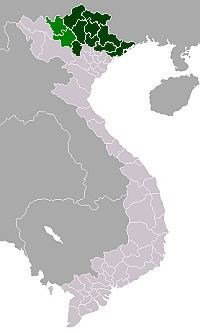
Lạng Giang is a rural district of Bắc Giang Province in the northeast region of Vietnam. As of 2003 the district had a population of 184,956. The district covers an area of 246 km². The district capital lies at Voi. Cấm Sơn lake is found here.
Contents
Map of L%E1%BA%A1ng Giang District, Bac Giang, Vietnam
Administrative divisions
The district is split administratively into one township Kép and the following communes:
Dĩnh Tri, Thái Đào, Đại Lâm, Tân Dĩnh, Xương Lâm, Tân Hưng, Hương Sơn, Xuân Hương, Mỹ Thái, Phi Mô, Tân Thanh, Mỹ Hà, Tiên Lục, Đào Mỹ, An Hà, Tân Thịnh, Hương Lạc, Nghĩa Hưng, Nghĩa Hòa, Quang Thịnh, Dương Đức, Yên Mỹ.
References
Lạng Giang District Wikipedia(Text) CC BY-SA