
Time zone CET/CEST (UTC+1/+2) Area 5.74 km² Postal code 55296 Dialling code 06138 | Elevation 154 m (505 ft) Postal codes 55296 Population 2,161 (31 Dec 2008) Local time Thursday 12:23 AM | |
 | ||
Weather 6°C, Wind NW at 6 km/h, 83% Humidity | ||
Lörzweiler is an Ortsgemeinde – a municipality belonging to a Verbandsgemeinde, a kind of collective municipality – in the Mainz-Bingen district in Rhineland-Palatinate, Germany.
Contents
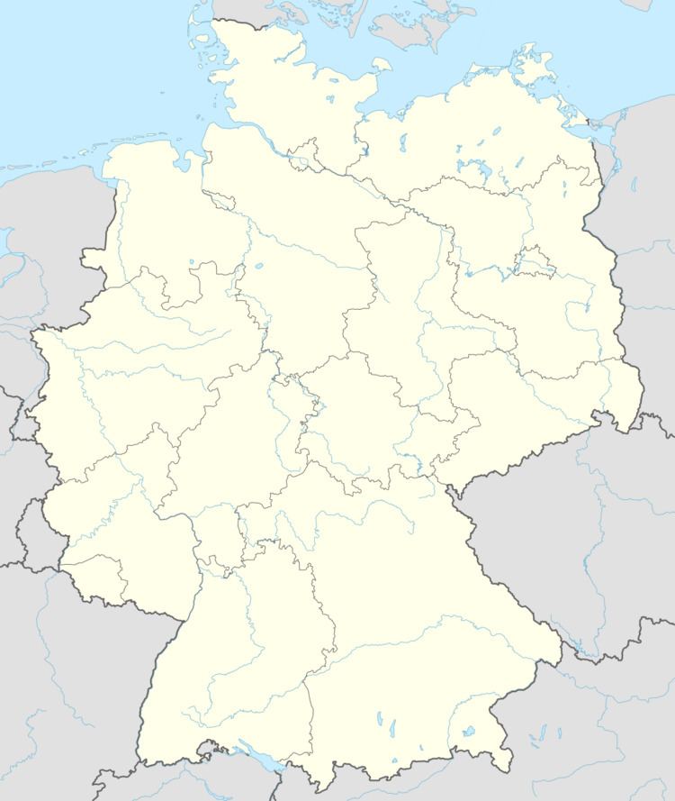
- Map of 55296 LC3B6rzweiler Germany
- Location
- Municipal council
- Town partnerships
- Coat of arms
- Regular events
- References
Map of 55296 L%C3%B6rzweiler, Germany
Location
The winegrowing centre of roughly 2,300 inhabitants distinguishes itself in particular with its winegrowing areas of Mainzer St. Alban and Niersteiner Gutes Domtal with their vineyards Ölgild, Königstuhl and Hohberg.
In the municipal area’s south stands the 175 m-high Königstuhl, upon which on 8 September 1024 Conrad II was reportedly elected. The municipality belongs to the Verbandsgemeinde of Bodenheim, whose seat is in the like-named municipality.
Municipal council
The council is made up of 17 council members, counting the part-time mayor, with seats apportioned thus:
(as at municipal election held on 13 June 2004)
Town partnerships
Coat of arms
The municipality’s arms might be described thus: Argent a limetree seedling eradicated sable leafed of five veined vert.