 | ||
L ns r fi j l 2015
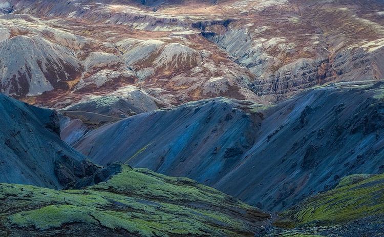
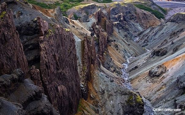
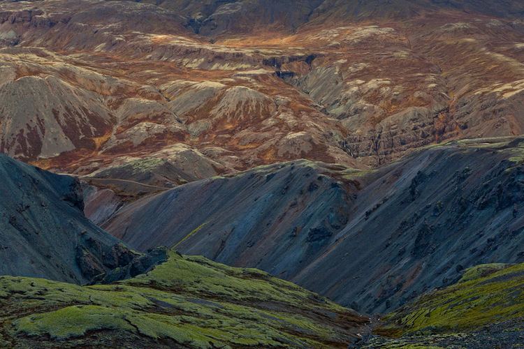
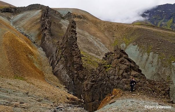
Lónsöræfi is a wilderness area in south-east Iceland. The region is characterised by its varied geological formations. These mostly date from a period 5-7 million years ago when the volcano Kollumúlaeldstöðvar was active. The glacier tongues of the eastern extreme of Vatnajökull also impose themselves on the area. Visible to the north-west is Snæfell (1833m), the highest peak in Iceland that isn't part of a glacier. The mountains within the area itself include Sauðhamarstindur (1319m) and Jökulgilstindar (1313 m).
Contents
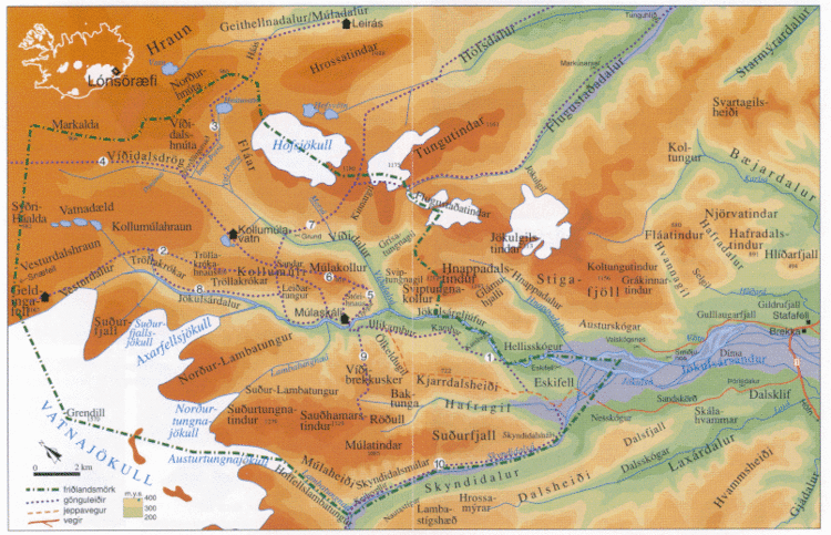
Lónsöræfi, while less known and less accessible than areas such as Skaftafell and the Southern Highlands, is nevertheless popular with hikers. A transport service from Stafafell farm into the reserve via all-terrain bus is available. Alternatively, the recent construction of a bridge for walkers over the Jökulsá í Lóni river at Eskifell has improved access for hikers. There are mountain huts at Geldingafell, Múlaskáli and Egilssel run by regional associations of Ferðafélag Íslands. A 4-6 day walking route from Snæfell to Stafafell is possible via the Eyjabakkajökull glacier tongue. The area can also be reached from Geithellnadalur. The nearest settlements of any size are Höfn and Djúpivogur.

Lo nso r fi 2015 h pur 4