Local time Wednesday 11:25 PM | Area 24.12 km² Number of airports 1 | |
 | ||
Intercommunality Évaux-les-Bains Chambon-sur-Voueize Weather 5°C, Wind E at 5 km/h, 92% Humidity | ||
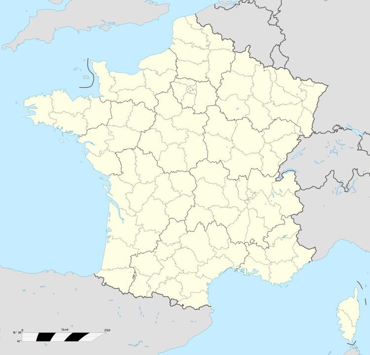
Lépaud is a commune in the Creuse department in the Nouvelle-Aquitaine region in central France.
Contents
Map of 23170 L%C3%A9paud, France
Geography
An area of farming, lakes and streams, comprising the village and several hamlets situated in the Voueize river valley, some 21 miles (34 km) northeast of Aubusson, at the junction of the D14 and the D917 roads. The Montluçon - Guéret Airport is entirely within the commune’s borders.
Sights
References
Lépaud Wikipedia(Text) CC BY-SA
