
River mouth Ariège155 m (509 ft) Length 70 km | Basin size 351 km (136 sq mi) Basin area 351 km² | |
 | ||
Main source La Bastide-de-Sérou570 m (1,870 ft) Discharge Average rate:2.01 m/s (71 cu ft/s) | ||
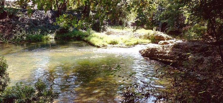
The Lèze (French: la Lèze) is a 70.3 km- (43.7 mi) long river in the Ariège and Haute-Garonne départements, southwestern France. Its source is in La Bastide-de-Sérou. It flows generally north. It is a left tributary of the Ariège into which it flows between Labarthe-sur-Lèze and Clermont-le-Fort.
Contents
Map of La L%C3%A8ze, France
Départements and communes along its course
This list is ordered from source to mouth:
References
Lèze Wikipedia(Text) CC BY-SA