
Population Uninhabited | Highest elevation 95 m (312 ft) Elevation 95 m | |
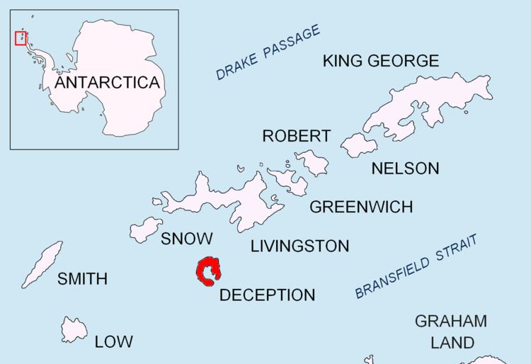 | ||
Låvebrua Island is an island, 95 metres (310 ft) high, lying 1.3 kilometres (0.7 nmi) east of South Point, Deception Island, in the South Shetland Islands off Antarctica. It was charted by a British expedition under Henry Foster, 1828–31. The name was given by Norwegian whalers operating from Deception Island, and was in use as early as 1927; it is descriptive, meaning literally "threshing floor bridge" or "barn bridge", and was a slang word for the inclined plane of the whaling factories' slipway.
References
Låvebrua Island Wikipedia(Text) CC BY-SA