
Postcode(s) 2700 Local time Monday 3:51 AM | Postal code 2700 | |
 | ||
Location 520 km (323 mi) from Sydney424 km (263 mi) from Melbourne64 km (40 mi) from Wagga Wagga36 km (22 mi) from Narrandera Weather 24°C, Wind E at 11 km/h, 72% Humidity | ||
Kywong is a rural locality in the Riverina region of New South Wales, Australia. The locality is situated on the Sturt Highway, 520 kilometres south west of the state capital, Sydney and 64 kilometres west of Wagga Wagga.
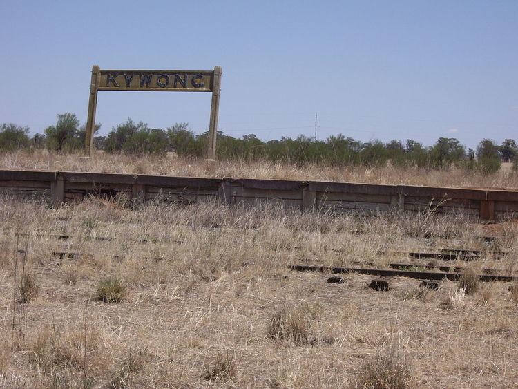
Kywong was the terminus of a branch line of the Main Southern railway line, opened in 1929 and closed in 1975. Shortly after, the Government Grain Elevators, later known as the Australian Wheat Board (AWB), constructed silos at Kywong for the storage of grain prior to rail transport to markets. The Kywong Public School opened in 1940 and closed in 1985. In 2001, the owners of the Kywong silos, GrainCorp announced their closure.
References
Kywong, New South Wales Wikipedia(Text) CC BY-SA