Lowest elevation 745 m (2,444 ft) Postal code 320 06 Local time Sunday 6:01 PM | Highest elevation 800 m (2,600 ft) Time zone EET (UTC+2) Area code(s) +30-2267-xxx-xxx | |
 | ||
Weather 14°C, Wind SW at 10 km/h, 55% Humidity | ||
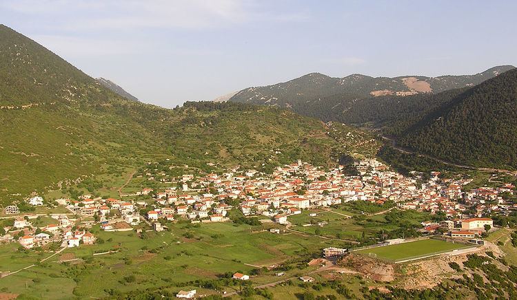
Kyriaki (Greek: Κυριάκι) is a village and a community of the Livadeia municipality, Greece. Before the 2011 local government reform Kyriaki was an independent community. The 2011 census recorded 2,298 in the community of Kyriaki and 2,185 in the village proper. The community of Kyriaki covers an area of 130.36 km2.
Contents
Map of Kyriaki 320 06, Greece
Settlements
Geography
A few farmlands are around the area. The mountains that are mainly filled with grasslands and rocks covers around the area, forests are found mainly in low-lying areas. The Gulf of Corinth is approximately 5 to 6 km southwest.
References
Kyriaki Wikipedia(Text) CC BY-SA
