
Population (2010 Census) 4,563 inhabitants | Time zone YAKT (UTC+09:00) | |
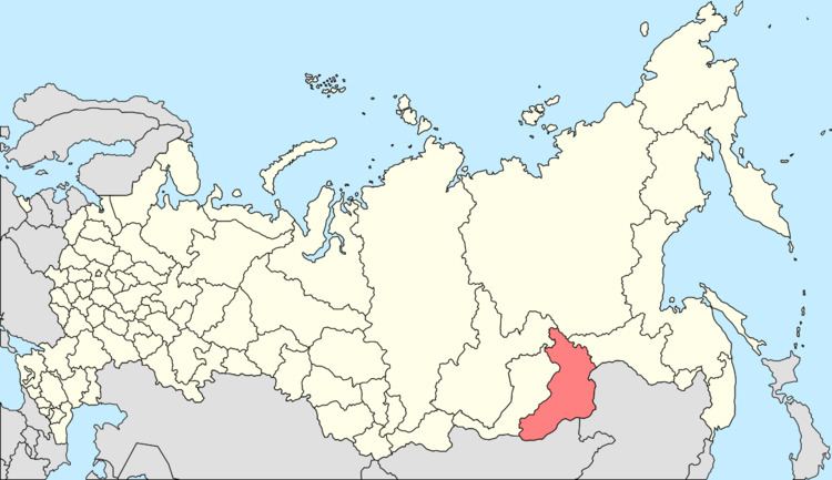 | ||
Kyra (Russian: Кыра) is a rural locality (a selo) and the administrative center of Kyrinsky District of Zabaykalsky Krai, Russia, located on the Kyra River near the Russian-Mongolian border. Population: 4,563 (2010 Census); 4,654 (2002 Census); 5,101 (1989 Census).
Contents
Map of Kyra, Zabaykalsky Krai, Russia, 674250
Transportation
A local road to the north through the selo of Mordoy connects Kyra to the regional road A167, which leads to the border with Mongolia to the south and Aksha, Duldurga, and Darasun to the north. Local roads also connect to the rural localities of Gavan and Bilyutuy.
Climate
Kyra has a subarctic climate (Köppen climate classification Dwc) with very dry, severely cold winters and warm, wet summers.
References
Kyra, Russia Wikipedia(Text) CC BY-SA