
Major islands Kyd Elevation 237 m Literacy 84.4% Area code 031927 | Total islands 1 Length 3.29 km (2.044 mi) Area 5.42 km² Postal code 744206 | |
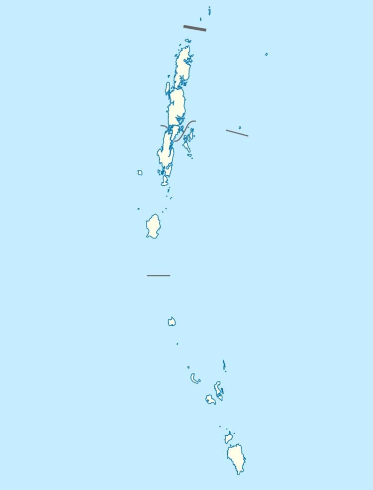 | ||
Kyd Island is an island of the Andaman Islands. It belongs to the South Andaman administrative district, part of the Indian union territory of Andaman and Nicobar Islands. the island is lying 30 km (19 mi) north from Port Blair.
Contents
Map of Kyd Island, Andaman and Nicobar Islands
Geography
The island belongs to the Napier Bay Islands and lies north of Shoal Bay.
Administration
Politically, Kyd Island, along neighboring Napier Bay Islands, are part of Ferrargunj Taluk.
Demographics
The island was formerly inhabited. An Andamani group of inhabitants 'Aca-Bea' used to cover up Kyd Island in the past.
References
Kyd Island Wikipedia(Text) CC BY-SA