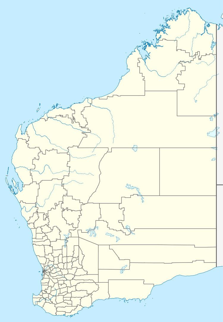
Postcode(s) 6317 State electorate(s) Wagin | Postal code 6317 | |
 | ||
Location 329 km (204 mi) SW of Perth211 km (131 mi) N of Albany43 km (27 mi) W of Katanning Weather 12°C, Wind SE at 14 km/h, 58% Humidity | ||
Kwobrup is a small town in the Shire of Kent, in the Wheatbelt region of Western Australia. It is located on the Katanning to Nyabing branch line. The Kwobrup Reserve, north of the town, forms part of the Kwobrup-Badgebup Important Bird Area.
References
Kwobrup, Western Australia Wikipedia(Text) CC BY-SA
