
Total islands 1 Length 1 km (0.6 mi) Area 35 ha | Major islands Kwato Width 0.85 km (0.528 mi) Adjacent body of water Solomon Sea | |
 | ||
Samarai and kwato islands
Kwato Island an island in China Strait, Milne Bay Province, Papua New Guinea.
Contents
- Samarai and kwato islands
- Map of Kwato Island Papua New Guinea
- Administration
- History
- Geography
- Economy
- Demographics
- Transportation
- References
Map of Kwato Island, Papua New Guinea
Administration
The island belongs to Logea North Ward, which belongs to Bwanabwana Rural Local Level Government Area LLG, Samarai-Murua District, which are in Milne Bay Province.
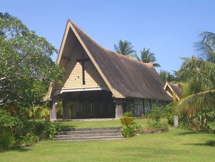
History
In 1891, Rev Charles Abel and his wife Beatrice commenced a mission on this island, which developed into a non-hierarchical church, and self-supporting mission, teaching boat-building, agriculture and management skills.
Geography
The island is part of the Logea group, itself a part of Samarai Islands of the Louisiade Archipelago.
Economy
The islanders, like other from Samarai Islands are experts in boat building.
Demographics
The population of 66 is split between 2 villages: Kwato missionary which is inland, and Isuhina which is on the coast.
Transportation
There is a dock on the island.