
Time zone EET (UTC+1) Elevation 125 m Population 822 (2001) | First written mention 1230 Postal Code 930 41 Area 8.099 km² Local time Sunday 12:22 PM | |
 | ||
Weather 8°C, Wind W at 11 km/h, 69% Humidity | ||
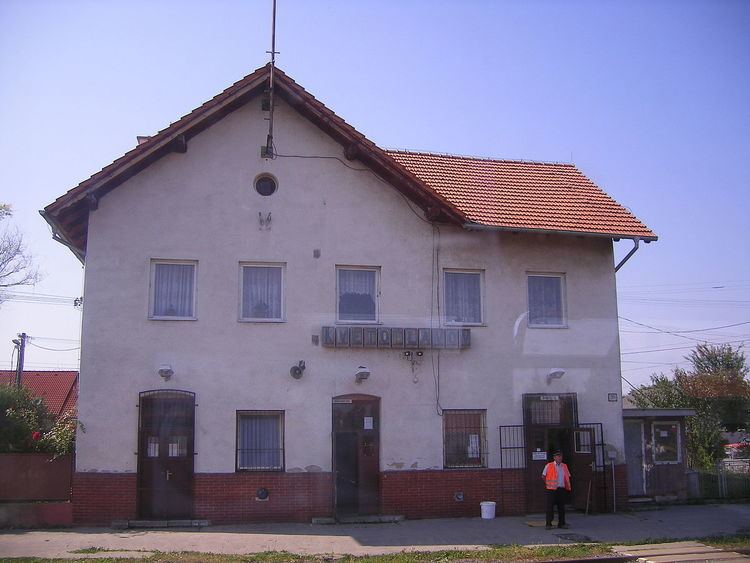
Kvetoslavov (Hungarian: Úszor, [ˈuːsor]) is a village and municipality in the Dunajská Streda District in the Trnava Region of south-west Slovakia.
Contents
Map of 930 41 Kvetoslavov, Slovakia
History
In historical records, the village was first recorded in 1230 as "Vzor".
Until the end of World War I, it was part of Hungary and fell within the Somorja district of Pozsony County. After the Austro-Hungarian army disintegrated in November 1918, Czechoslovakian troops occupied the area. After the Treaty of Trianon of 1920, the village became officially part of Czechoslovakia. In November 1938, the First Vienna Award granted the area to Hungary and it was held by Hungary until 1945. After Soviet occupation in 1945, Czechoslovakian administration returned and the village became officially part of Czechoslovakia in 1947.
As a part of a forced population exchange initiated by Czechoslovakia, approximately one third of the village’s Hungarian population was expulsed to Hungary by Czechoslovakian authorities and were replaced by ethnic Slovaks from southern-Hungary.
Demography
Census 2011 - 948 inhabitants : 596 people (63%) Slovaks nationality, 258 people (27%) Hungarians and 95 (10%), others nationality.
Census 1910, according 262 people, at the 2001 - 822 people an end 2008 estimate by the Statistical Office had the villages's population - 932 people. Roman Catholicism is the majority religion of the village, its adherents numbering 85.30% of the total population.