Trisha Shetty (Editor)

Kuyto

Updated on
Edit
Like
Comment
Share on FacebookTweet on TwitterShare on LinkedInShare on Reddit
Location
  
Republic of Karelia

Surface area
  
257 km (99 sq mi)

Surface elevation
  
101 m

Basin countries
  
Russia

Max. depth
  
34 m (112 ft)

Area
  
257 km²

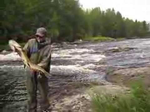
Kuyto httpsiytimgcomviqjWWhiDOtBshqdefaultjpg

The Kuyto (Russian: Куйто Finnish: Kuittijärvet) are three lakes in the Republic of Karelia, in the northwestern part of Russia. The Kuyto lakes are connected by natural canals, and are used for timber rafting.

Map of Kuyto, Republic of Karelia, Russia, 186910

  • Upper Kuyto (Russian: Верхнее Куйто, Finnish: Ylä-Kuittijärvi) is located at 65.05°N 30.75°E / 65.05; 30.75 (Upper Kuyto). It has an area of 198 km², surface elevation of 103 m and a maximum depth of 44 m.
  • Middle Kuyto (Russian: Среднее Куйто, Finnish: Keski-Kuittijärvi) is located at 65.1333333°N 31.25°E / 65.1333333; 31.25 (Middle Kuyto) and has an area of 257 km², surface elevation of 101 m and a maximum depth of 34 m.
  • Lower Kuyto (Russian: Нижнее Куйто, Finnish: Ala-Kuittijärvi) is located at 64.9333333°N 31.75°E / 64.9333333; 31.75 (Lower Kuyto) and has an area of 141 km², surface elevation of 100 m and a maximum depth of 33 m. Lower Kuyto terminates at a dam built in 1956, below which flows the Kem River.
  • There are numerous islands on Kuyto Lakes.

    References

    Kuyto Wikipedia