
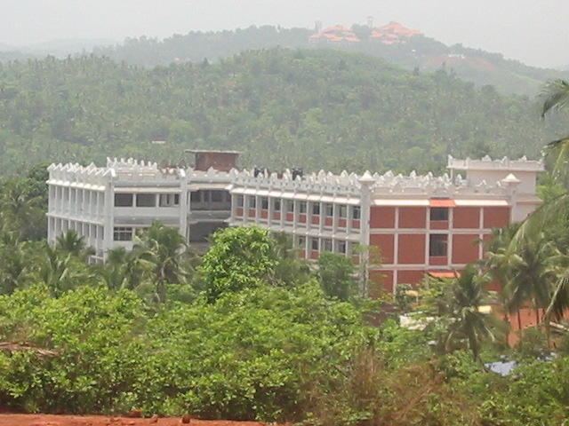
Vehicle registration KL- Local time Sunday 2:28 PM | Time zone IST (UTC+5:30) Population 21,154 (2001) University AWH Engineering College | |
 | ||
Weather 33°C, Wind W at 21 km/h, 56% Humidity | ||
Velliparamba and Kuttikkattoor and two adjacent suburbs of Kozhikode city separated by three kilometres on the road to Mavoor. These villages are also connected to Palazhi and Pantheeramkavu areas.
Contents
Map of Kuttikkattoor, Kerala 673008
Etymology
Velliparamba is sometimes described by local names like Ancham Mile and Aram Mile. Keezhmadu, Poojapura, Mampuzha, Ummalathoor, Kovoor Town, , Chemmathoor, Punathil Bazar, Mayanad, Peruvayal, Perumanna, and Poovattuparamba are the adjoining villages.
Important Organizations
Suburbs and Villages
References
Kuttikkattoor and Velliparamba Wikipedia(Text) CC BY-SA