
Country Thailand Time zone THA (UTC+7) Geocode 4412 Population 36,144 (2005) | Seat Kut Rang Postal code 44130 Area 267 km² Province Maha Sarakham Province | |
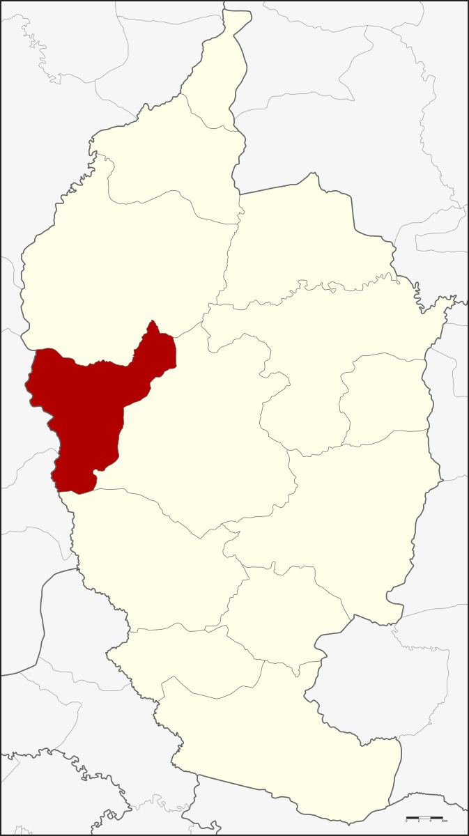 | ||
Kut Rang (Thai: กุดรัง) is a district (Amphoe) of Maha Sarakham Province, northeastern Thailand.
Contents
Map of Kut Rang District, Maha Sarakham, Thailand
Geography
Neighboring districts are (from the north clockwise) Kosum Phisai, Borabue and Na Chueak of Maha Sarakham Province, and Pueai Noi and Ban Phai of Khon Kaen Province.
History
The minor district (King Amphoe) was split off from Borabue district on April 1, 1995.
Following a decision of the Thai government on May 15, 2007, all of the 81 minor districts were to be upgraded to full districts. With the publishing in the Royal Gazette on August 24 the upgrade became official.
Administration
The district is subdivided into 5 subdistricts (tambon), which are further subdivided into 85 villages (muban). There are no municipal (thesaban) areas, and 5 Tambon administrative organizations (TAO).