
Country Thailand Time zone ICT (UTC+7) Geocode 4703 Population 31,833 (2005) | Seat Kut Bak Postal code 47180 Area 455 km² Province Sakon Nakhon Province | |
 | ||
Kut Bak (Thai: กุดบาก) is a district (amphoe) of Sakon Nakhon Province, Thailand.
Contents
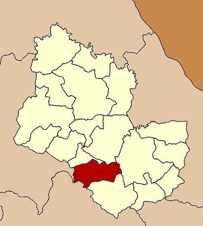
Map of Kut Bak District, Sakon Nakhon, Thailand
Geography
Neighboring districts are (from the north clockwise) Nikhom Nam Un, Phanna Nikhom, Mueang Sakon Nakhon, and Phu Phan of Sakon Nakhon Province, Kham Muang of Kalasin Province and Wang Sam Mo of Udon Thani Province.
History
The minor district (king amphoe) was created on 1 February 1964, when three tambons, Kut Bak, Khok Phu, and Na Mong were split from Mueang Sakon Nakhon District. It was upgraded to a full district on 14 November 1967.
Administration
The district is divided into three sub-districts (tambon), which are further subdivided into 38 villages (muban). Kut Bak is a township (thesaban tambon) which covers parts of tambon Kut Bak. There are a further three tambon administrative organizations (TAO).
Missing numbers are tambon which now form Phu Phan District.