
Area 316.3 km² | Time zone BST (UTC+6) | |
 | ||
Website Official Map of Kushtia Sadar | ||
Kushtia Sadar (Bengali: কুষ্ঠিয়া সদর) is an Upazila of Kushtia District in the Division of Khulna, Bangladesh.
Contents
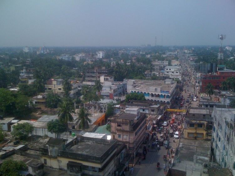
Map of Kustia Sadar Upazila, Bangladesh
Demographics
As of the 1991 Bangladesh census, Kushtia Sadar has a population of 368774. Males constitute 51.77% of the population, and females 48.23%. This Upazila's eighteen up population is 194778. Kushtia Sadar has an average literacy rate of 33.7% (7+ years), and the national average of 32.4% literate.
Administration
Kushtia Sadar has 18 Unions/Wards, 144 Mauzas/Mahallas, and 157 villages.
Education
References
Kushtia Sadar Upazila Wikipedia(Text) CC BY-SA