
Somons 4 Area 12,491 km² | Federal subject Republic of Buryatia Selsoviets 5 Rural localities 28 | |
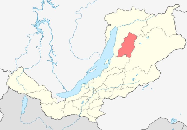 | ||
Kurumkansky District (Russian: Курумка́нский райо́н; Buryat: Хурамхаанай аймаг) is an administrative and municipal district (raion), one of the twenty-one in the Republic of Buryatia, Russia. It is located in the northeast of the republic. The area of the district is 12,450 square kilometers (4,810 sq mi). Its administrative center is the rural locality (a selo) of Kurumkan. As of the 2010 Census, the total population of the district was 15,007, with the population of Kurumkan accounting for 36.4% of that number.
Contents
Map of Kurumkansky District, Buryatia, Russia
History
The district was established on December 11, 1970.
Administrative and municipal status
Within the framework of administrative divisions, Kurumkansky District is one of the twenty-one in the Republic of Buryatia. The district is divided into five selsoviets and four somons, which comprise twenty-eight rural localities. As a municipal division, the district is incorporated as Kurumkansky Municipal District. Its five selsoviets and four somons are incorporated as ten rural settlements within the municipal district. The selo of Kurumkan serves as the administrative center of both the administrative and municipal district.