
Elevation 485 m (1,591 ft) Postal code 39300 Population 427 (2011) | District Pınarhisar Time zone EET (UTC+2) Licence plate 39 Area code 0288 | |
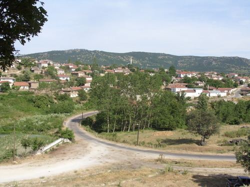 | ||
Kurudere is a village in Pınarhisar district of Kırklareli Province, Turkey, It is situated in the eastern Trakya (Thrace) plains at 41°45′N 27°33′E. The distance to Pınarhisar is 20 kilometres (12 mi) . The population of the village is 485 as of 2011. In the 19th century most of the population was composed of Ethnic Bulgarians. But after the Second Balkan War the Bulgarian population was forced to leave the settlement.
Map of Kurudere, 39300 Kurudere K%C3%B6y%C3%BC%2FP%C4%B1narhisar%2FK%C4%B1rklareli, Turkey
References
Kurudere, Pınarhisar Wikipedia(Text) CC BY-SA