
District Chittoor Time zone IST (UTC+5:30) Elevation 764 m | Mandal Kurabalakota PIN 517350 Local time Sunday 8:48 AM | |
 | ||
Weather 27°C, Wind SW at 11 km/h, 69% Humidity | ||
Kurabalakota is a census town in Chittoor district of the Indian state of Andhra Pradesh. It is a mandal headquarters of Thamballapalle Constituency.
Contents
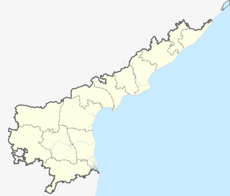
Map of Kurabala Kota, Andhra Pradesh 517350
Geography
Kurabalakota is located at 13.6500°N 78.4833°E / 13.6500; 78.4833. It has an average elevation of 764 meters (2211 feet). Latitude 13.6522 Longitude 78.4817 Lat (DMS) 13° 39' 8N Long (DMS) 78° 28' 54E
References
Kurabalakota Wikipedia(Text) CC BY-SA