
District Barddhaman Vehicle registration WB Population 5,127 (2011) | Time zone IST (UTC+5:30) Website bardhaman.gov.in Local time Sunday 7:55 AM | |
 | ||
Weather 22°C, Wind NE at 2 km/h, 44% Humidity | ||
Kunustara is a census town in Jamuria CD Block and is served by Jamuria police station in Asansol subdivision of Barddhaman district in the Indian state of West Bengal.
Contents
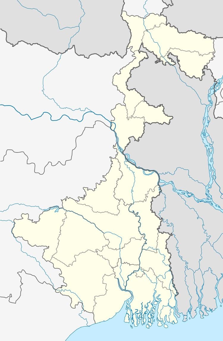
Map of Kunustoria, West Bengal
Geography
Kunustara is located at 23°39′28″N 87°07′03″E.
The Asansol-Durgapur region is composed of undulating latterite soil. This area lies between two mighty rivers – the Damodar and the Ajay. They flow almost parallel to each other in the region – the average distance between the two rivers is around 30 km. For ages the area was heavily forested and infested with plunderers and marauders. The discovery of coal led to industrialisation of the area and most of the forests have been cleared.
Demographics
As per 2011 Census of India Kunustara had a total population of 5,127 of which 2,720 (53%) were males and 2,407 (47%) were females. Population below 6 years was 587. The total number of literates in Kunustara was 3,451 (76.01% of the population over 6 years).
As of 2001 India census, Kunustara had a population of 5,416. Males constitute 56% of the population and females 44%. Kunustara has an average literacy rate of 67%, higher than the national average of 59.5%: male literacy is 77%, and female literacy is 55%. In Kunustara, 13% of the population is under 6 years of age.
Economy
Collieries in the Kunustoria Area of Eastern Coalfields are: Amritnagar, Amrasota, Mahabir, North Searsole, Kunustoria, Banshra, Topsi, Belbaid, Parasea 6&7, Parasea, Banshra OCP and Parasea OCP.
Education
Kunustara has two primary schools.