
Elevation 5,044 m | ||
 | ||
Mountain range Cordillera Occidental, Andes | ||
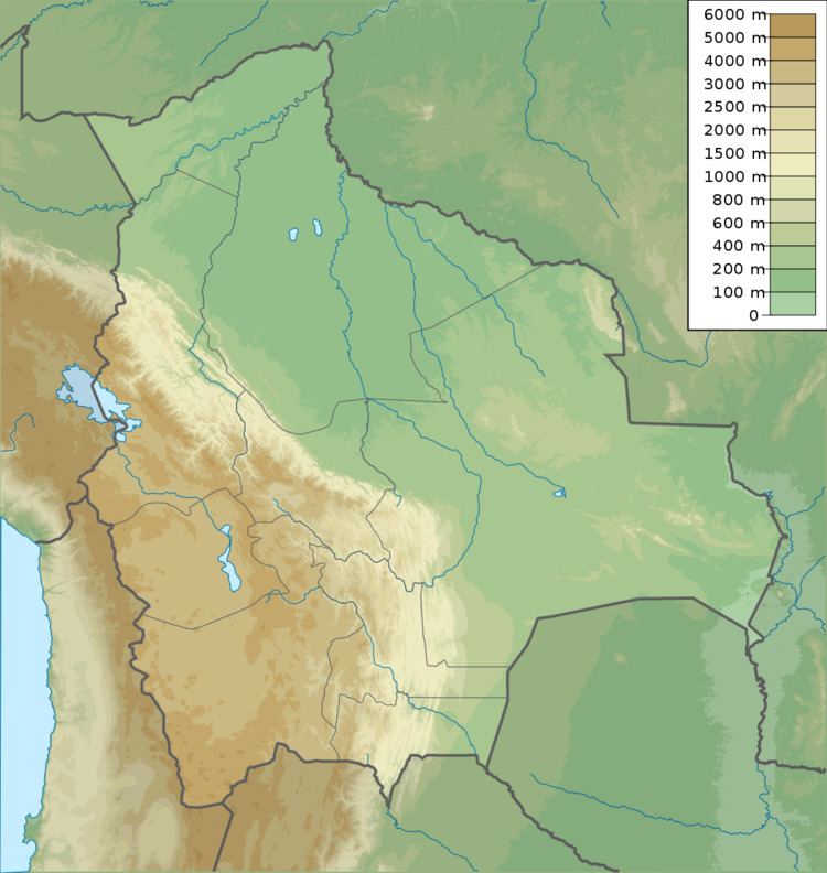
Kuntur Ikiña (Aymara kunturi condor, ikiña to sleep, bed or blanket, "bed of the condor" or "resting place of the condor", Hispanicized spelling Condor Iquiña) is a 5,044-metre-high (16,549 ft) mountain in the Andes located in the Cordillera Occidental of Bolivia. It is situated in the Oruro Department, Sajama Province, Turco Municipality, north-east of Umurata and south of the Bolivian Route 4 that leads to Tambo Quemado on the border with Chile.
Map of Kuntur Iki%C3%B1a, Bolivia
References
Kuntur Ikiña (Sajama) Wikipedia(Text) CC BY-SA