
Elevation 710 m (2,330 ft) | Time zone EET (UTC+2) | |
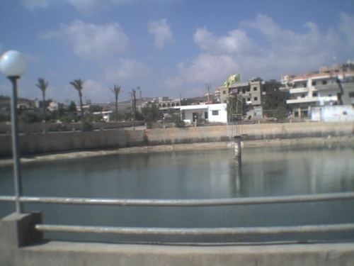 | ||
Kunin (Arabic: كونين) is a Lebanese municipality located in Bint Jbeil District, south-east of Tebnine.
Contents
Map of Kounine, Lebanon
Name
E. H. Palmer wrote that the name Kunin came from a personal name.
History
In 1875, Victor Guérin gives the population of this place at 400, divided between Moslems and Metawileh.
In 1881, the Palestine Exploration Fund's Survey of Western Palestine (SWP) described it as: "A village, built of stone, containing about 200 Metawileh ; it is situated on ridge, with olives and arable land around ; water from cisterns in the village and from a large birket." They further noted: "There are two round and two octagonal pillars at this village, remains of old materials, and a lintel measuring 17' long and bearing a Greek inscription. There are also several cisterns and a large birkeh. The inscription on the lintel is probably the common formula, KYPIE BOHΘH ("Help, Lord")."