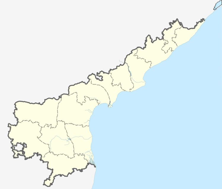
District Prakasam Time zone IST (UTC+5:30) Area code 08407 | PIN 523240 | |
 | ||
Kunchepalli is a village located at Podili mandal in Prakasam district in the state of Andhra Pradesh in India.
Contents
- Map of Kunchepalli Andhra Pradesh 523240
- History
- Education
- Agriculture
- Temples festivals
- Facilities
- Bank
- Drinking water supply
- Health
- Transport
- References
Map of Kunchepalli, Andhra Pradesh 523240
History
Kunchepalli is one of the villages in Podili mandal, people will give more importance for studies. In my mandal no 1 village in studies.
Education
Activities: This village's students are members of "Green Revolution For Saving Trees".
Agriculture
Main crops are daal, paddy,tobacco. Milk is good business for people.
Temples / festivals
There are two Rama temples in the village and one Rama temple in Nadimpalli. Every year people celebrate Sri Rama Navami. There is an Anjaneya Swamy temple just beside Musi river which is flowing across Kunchepalli and connecting to Bangalakatam. Every year next day of the Sri Rama Navami around 20 villages surrounding people will celebrate very grandly. All people do pongal at swamy sannidanam during the day and celebrate at night by arranging Electric prabhas, colatas, bhajanas. Around 1 lakh people participate in this vutsav. People called this vutsav as Musi tirunala, Anjaneya swamy tirunala. We never missed this tirunala.
Facilities
This village is one of the most developing villages in India.
Bank
Drinking water supply
Health
Transport
Air The nearest airports are in Hyderabad, Tirupathi and Chennai and Vijayawada.
Rail The nearest rail stations are Ongole, Kurichedu and Donakonda and markapur.
Road Kunchepalli is connected by road with the rest of the state. Transportation by bus is run by the state transport corporation. ->Nearest to National Highway 5.
