
Coat of arms Flag Rural localities 78 | selsoviet 17 Area 2,977 km² | |
 | ||
Administrative center stanitsa of Kumylzhenskaya | ||
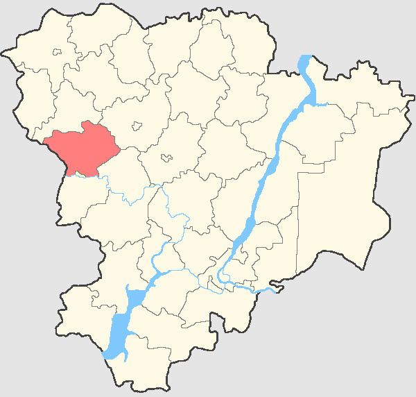
Kumylzhensky District (Russian: Кумылженский райо́н) is an administrative district (raion), one of the thirty-three in Volgograd Oblast, Russia. Municipally, it is incorporated as Kumylzhensky Municipal District. It is located in the west of the oblast. The area of the district is 2,977 square kilometers (1,149 sq mi). Its administrative center is the rural locality (a stanitsa) of Kumylzhenskaya. Population: 21,425 (2010 Census); 23,499 (2002 Census); 23,647 (1989 Census). The population of Kumylzhenskaya accounts for 37.1% of the district's total population.
Contents
Map of Kumylzhensky District, Volgograd Oblast, Russia
History
The district was called Podtyolkovsky District in 1970–1994.
References
Kumylzhensky District Wikipedia(Text) CC BY-SA