Sub-region Archipelago sub-region Municipal tax rate 18.5% | Region Åland Time zone EET (UTC+2) | |
 | ||
Area rank 299th largest in Finland Weather 1°C, Wind N at 21 km/h, 75% Humidity | ||
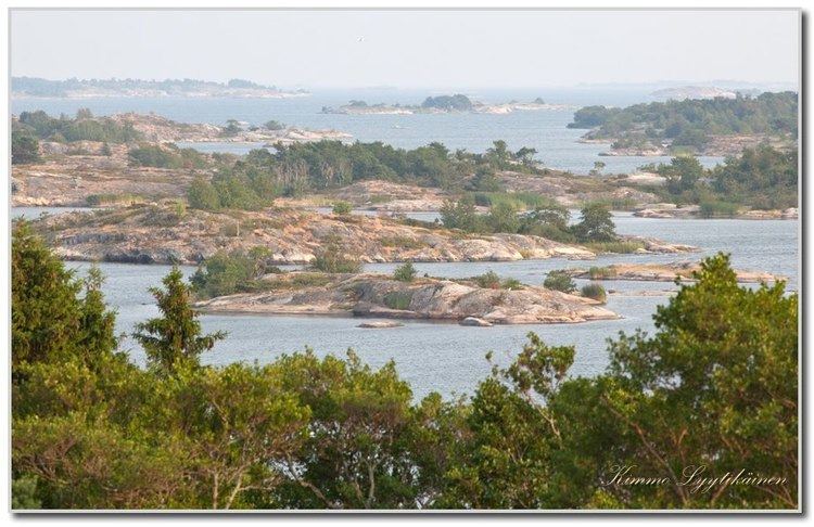
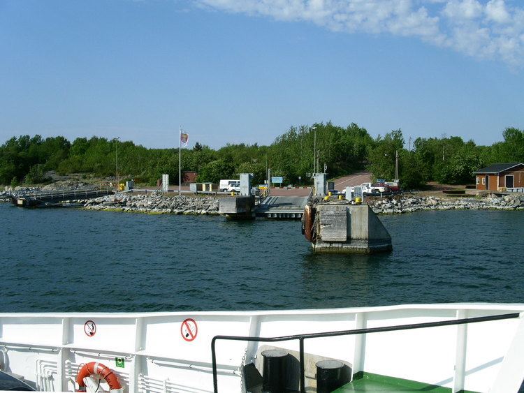
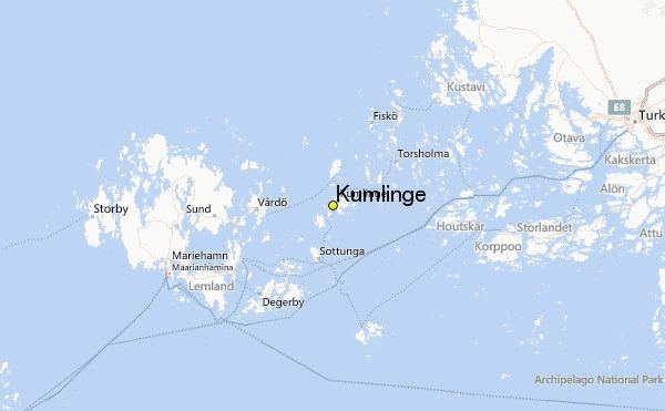
Kumlinge is a municipality consisting of a group of islands in Åland, an autonomous territory of Finland. Kumlinge, which is also the name of the largest island in the group, means "rocky passage."
Contents

The municipality has a population of 315 (31 March 2016) and covers an area of 99.09 square kilometres (38.26 sq mi) of which 761.12 km2 (293.87 sq mi) is water. The population density is 3.17 inhabitants per square kilometre (8.2/sq mi).
7,001,892,000,000,000,000♠89.2% of the population is Swedish-speaking, 7,000,610,000,000,000,000♠6.1% is Finnish-speaking, and 7,000,470,000,000,000,000♠4.7% speak other languages.
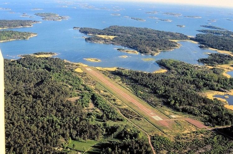
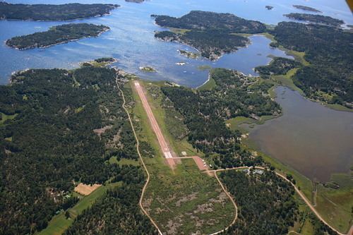
The Kumlinge Airfield is situated on the main island.
History
The first visitors to Kumlinge were Vikings who stopped there during their voyages. The first permanent residents arrived in the 13th century. According to taxrolls from the 16th century there were about a dozen houses on the main island at the time, home to mostly farmers and fishermen. In the 20th century the population of Kumlinge slowly began to decline.
Sights
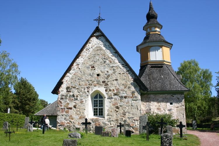
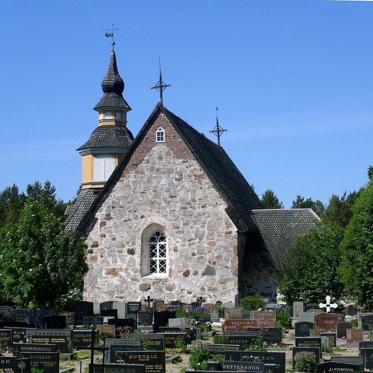
The church in the village is dedicated to St. Anne and dates from the 15th century. There are two farm museums in Kumlinge: Hermas museigård and Sjölunds gårdsmuseum. There is also a memorial stone in Fälberget which is dedicated to the war of 1808 when a Russian battalion was defeated in the village of Kumlinge. The old post route also goes through Kumlinge. There is also an old but still operational pharmacy on Kumlinge that is well worth a visit with its old inventory.
Geocaching
There is a growing number of geocaches on Kumlinge that take you to extraordinary places all over the island.