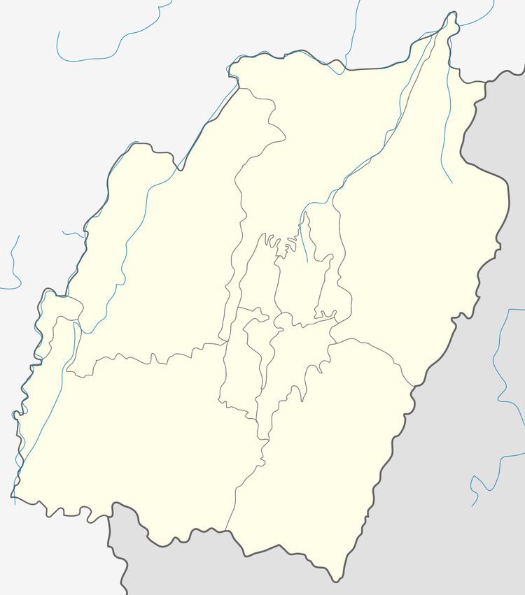
District Bishnupur Vehicle registration MN Local time Sunday 5:00 AM | Time zone IST (UTC+5:30) Website manipur.gov.in Population 7,947 (2001) | |
 | ||
Weather 13°C, Wind SW at 2 km/h, 92% Humidity | ||
Kumbi is a town and a nagar panchayat in Bishnupur District in the Indian state of Manipur. The Kumbi Constituency of Manipur Legislative Assembly was named after the village. It is 51 km far away from Imphal, capital city of Manipur. The village is 10 km away from the historical place Moirang, where Netaji Subhas Chandra Bose-led-Azad Hind Fauz (Indian National Army)hoisted the tri-colour Indian National flag in the free Indian territory 14 April 1944. Kumbi is an agricultural small town of 7947 population (2001 Census). Khuga tural (river) that flows at the middle of the village and Loktak Pat (Lake) blessed the villagers with a source of their livelihood. It is the meeting point for villagers of neighbouring villages like Ethai, Wangoo, Terakhong etc. and a business hub for them. Almost all the people depends their livelihood in seasonal cultivation and fishing. This beautiful town has five famous local deities' temples like Ibudhou Sandhong Khubam, Ibudhou Ishingchaiba Khubam, Ema Phouoibi Khubam, Epa lai soraren and Ema keithel lairenbi Khubam. Kumbi Kangjeibung (Pologround) with an area of around 10 acre is one of the biggest play ground in the state. The then Home minister of India, Sardar Vallabhbhai Patel had erected a memorial stone in the field. Kumbi College, Yaima Model Girl High School, Kumbi Govt. High School, Y.P. English High School, Kumbi Awang Aided High School, Govt Boys Junior High School are some of the old educational institutes in area.
