
Postal code 59000 Elevation 5 m Population 2,069 (2011) | Time zone EET (UTC+2) Licence plate 59 Local time Sunday 2:26 AM Area code 0282 | |
 | ||
District Tekirdağ central district Weather 8°C, Wind SW at 13 km/h, 77% Humidity | ||
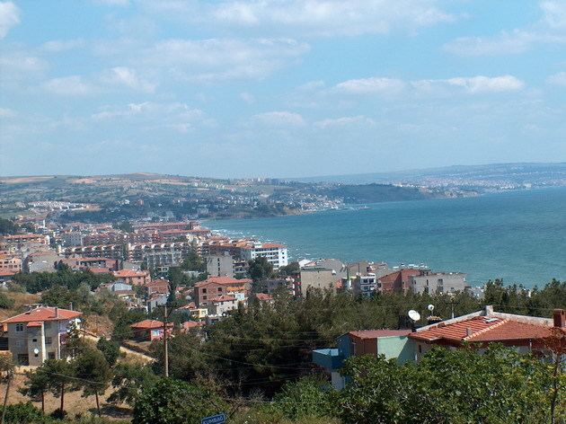
Kumbağ is a town in the central district (Tekirdağ) of Tekirdağ Province, Turkey. It is situated in the Marmara Sea coast of Rumeli (Thrace, the European part of Turkey) to the south of Tekirdağ at 41°52′N 27°28′E. The distance to Tekirdağ is 13 kilometres (8.1 mi) . The population of Kumbağ was 2069 as of 2011. The town was a Greek fishing village named Kumbos or Chrisampelos (greek: Χρυσάμπελος) prior to Balkan Wars. After the Turkish War of Independence in 1920s, Greeks were replaced by the Turks from Greece and Bulgaria. In 1935s Turks from Romania also settled in Kumbağ. In 1993 it was declared a seat of township. With sandy beaches the main revenue of the town is tourism. Farming is another major sector.
Map of Kumba%C4%9F, Tekirda%C4%9F, Turkey
References
Kumbağ Wikipedia(Text) CC BY-SA