
 | ||
Kumata Hill (Bulgarian: хълм Кумата, ‘Halm Kumata’ \'h&lm 'ku-mata) is the partly ice-free hill rising to 614 m on the east side of Stepup Col on Trinity Peninsula in Graham Land, Antarctica. It is surmounting Broad Valley to the north and Cugnot Ice Piedmont to the south.
Contents
The hill is named after the Kumata locality on Vitosha Mountain in Western Bulgaria.
Location
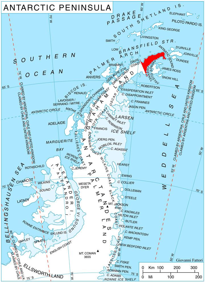
Kumata Hill is located at 63°33′35″S 57°49′30″W, which is 6.9 km north-northwest of McCalman Peak, 3.08 km east of Marten Crag, 7.88 km south-southwest of Kanitz Nunatak and 3.37 km west-southwest of Cain Nunatak. German-British mapping in 1996.
Maps
References
Kumata Hill Wikipedia(Text) CC BY-SA