
Phone number 0597-89-4111 Population 17,727 (Aug 2015) | Website www.city.kumano.mie.jp | |
 | ||
Weather 12°C, Wind NW at 21 km/h, 62% Humidity Points of interest Hananoiwaya Shrine, Kiwakozan Museum, Kiyodaki, UFO型の集落 | ||
Kumano (熊野市, Kumano-shi) is a city located in Mie Prefecture, Japan.
Contents
- Map of Kumano Mie Prefecture Japan
- Geography
- Neighboring municipalities
- History
- Economy
- Education
- Railway
- Highway
- Local attractions
- Sister city relations
- Noted people
- References
Map of Kumano, Mie Prefecture, Japan
As of August 2015, the city had an estimated population of 17,727 and a population density of 47.4 persons per km2. The total area was 373.35 square kilometres (144.15 sq mi).
Geography
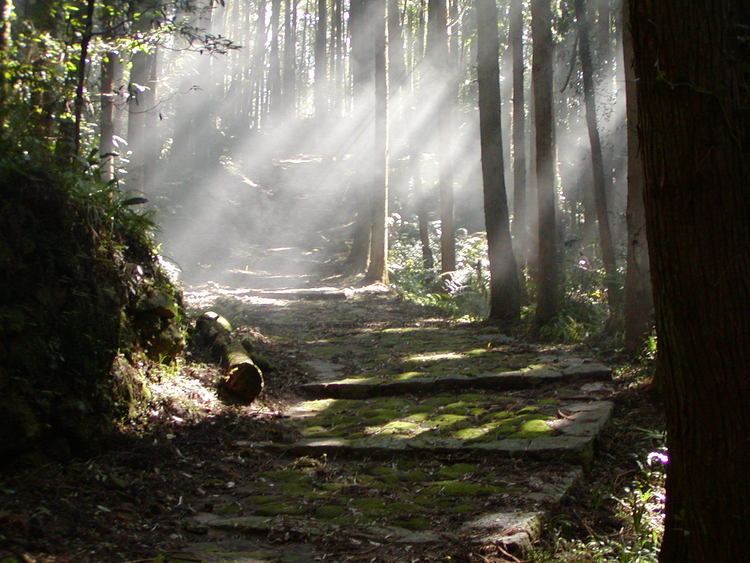
Kumano is located near the southern tip of the Kii Peninsula, in southern Mie Prefecture, facing the Pacific Ocean. Parts of the city are within the limits of the Yoshino-Kumano National Park.
Neighboring municipalities
History
The city of Kumano was established on November 3, 1954 by the merger of the town of Kinomoto with the surrounding villages of Isato, Kamikawa, Arii, Atashika, Arasaki and Tomari (all from Minamimuro District).
On November 15, 2005, the town of Kiwa (also from Minamimuro District) was also merged into Kumano.
Economy
The economy of Kumano is centered on commercial fishing, forestry and horticulture (oranges).
Education
Kumano has nine elementary schools, seven middle schools and one high school, along with one special education school.
Railway
Highway
Local attractions
A portion of the Sacred Sites and Pilgrimage Routes in the Kii Mountain Range, a UNESCO World Heritage Site is located within Kumano.