
Country Serbia Time zone CET (UTC+1) Area code(s) +381(0)23 Population 3,814 (2002) Province Vojvodina | Elevation 80 m (260 ft) Postal code 23271 Car plates ZR Local time Saturday 11:52 PM | |
 | ||
Weather 10°C, Wind SW at 10 km/h, 84% Humidity | ||
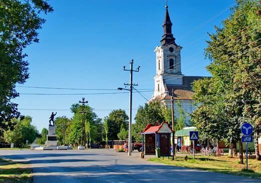
Kumane (Serbian Cyrillic: Кумане) is a village located in the Novi Bečej municipality, in the Central Banat District of Serbia. It is situated in the Autonomous Province of Vojvodina. The village has a Serb ethnic majority (86.41%) and its population numbering 3,814 people (2002 census).
Contents
Map of Kumane, Serbia
Name
In Serbian, the village is known as Kumane (Кумане), in Hungarian as Kumán, and in Croatian as Kumane.
Historical population
References
Kumane Wikipedia(Text) CC BY-SA