
Time zone BST (UTC+6) Area 545.7 km² | Postal code 3230 Local time Sunday 3:14 AM | |
 | ||
Weather 19°C, Wind E at 5 km/h, 89% Humidity | ||
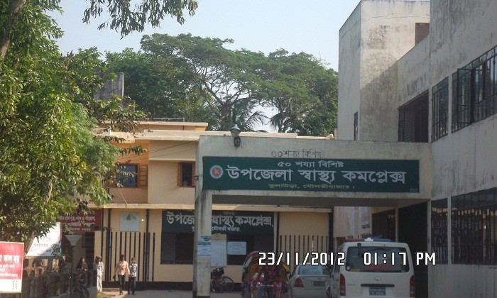
Kulaura (Bengali: কুলাউড়া) is the biggest upazila (subdistrict) of the Moulvibazar District in north-eastern Bangladesh. The total area of this upazila is 545 km2. Hakaluki Haor, the largest marsh wetland in Sylhet and one of the largest in Bangladesh is partially located there.
Contents
Map of Kulaura, Bangladesh
Union Parishads
The upazila has 13 Union Parishads or UPs. They are as follow:
Demographics
At the 1991 Bangladesh census, Kulaura had a population of 339,673, of whom 171,346 were aged 18 or older. Males constituted 51.09% of the population and females 48.91%. Kulaura had an average literacy rate of 28.8% (7+ years) compared to the national average of 32.4%.
References
Kulaura Upazila Wikipedia(Text) CC BY-SA