
Country India District Thiruvananthapuram Time zone IST (UTC+5:30) Local time Sunday 2:43 AM Area code 0471 | State Kerala Talukas Neyyattinkara PIN 695583 Population 32,978 (2001) Government body Gram panchayat | |
 | ||
Weather 27°C, Wind N at 5 km/h, 81% Humidity Points of interest Neyyar, Elephant Rock, Paruthiyoor | ||
Kulathoor is a village in Thiruvananthapuram district in the state of Kerala, India.
Contents
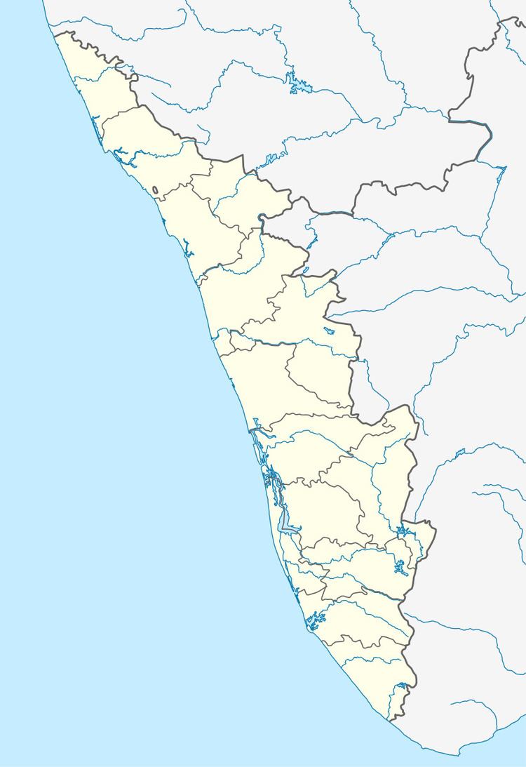
Map of Kulathoor, Kerala
Demographics
As of 2001 India census, Kulathoor grama panchayat has a population of 32978 with 16489 males and 16489 females. the grama panchayat belongs to Prassala block panchayat. for more information please visit website http://lsgkerala.in/kulathoorpanchayat/
General Information District : Thiruvananthapuram Block : Parassala Area : 11.24 km² Localbody Code : G011203
No of Wards : 20
References
Kulathoor Wikipedia(Text) CC BY-SA