Girish Mahajan (Editor)

Kulakkada

Updated on
Edit
Like
Comment
Share on FacebookTweet on TwitterShare on LinkedInShare on Reddit
Country
  
India

District
  
Kollam

PIN
  
691521

Local time
  
Sunday 2:36 AM

Government body
  
Gram panchayat

State
  
Kerala

Time zone
  
IST (UTC+5:30)

Telephone code
  
0474-26*****

Population
  
14,874 (2001)

Nearest city
  
Kollam

Kulakkada

Weather
  
26°C, Wind N at 3 km/h, 85% Humidity

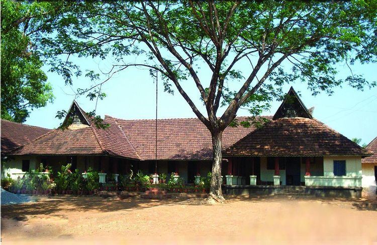
Kulakkada is a village in Kollam district in the state of Kerala, India.

Contents

Map of Kulakkada, Kerala

Kulakkada is also a panchayath headquartered in Mavadi. The main towns in kulakkada panchayath are Kulakkada, Puthoor and Poovattoor. The Thiruvananthapuram–Angamaly M.C. road passes through Kulakkada.

Demographics

As of 2001 India census, Kulakkada had a population of 14874 with 7194 males and 7680 females.

Schools and colleges

  • G V H S S Kulakkada (Govt. vocational higher secondary School, Kulakkada)
  • G L P S Kulakkada (Govt. Lower Primary School, Kulakkada)
  • BEd. College, Kulakkada (K U C T E Kerala University College of Teacher Education)
  • D.V.U.P. School, Thazhathu Kulakkada
  • Devi Vilasom Upper Primary School
  • Church

  • CGI Kulakkada (Church of God(Full Gospel) in India), Thiruthilambalam)
  • St Thomas Mar Thomas Church, Malappara
  • St George Orthodox Valiyapally,Thuruthilambalam
  • Evangelical church, Thuruthilambalam
  • References

    Kulakkada Wikipedia