
Calling code 0966 Number of Union councils 15 Local time Sunday 1:59 AM Area code 0966 | Time zone PST (UTC+5) Number of towns 2 Elevation 209 m Population 19,000 (1998) Province Khyber Pakhtunkhwa | |
 | ||
Weather 19°C, Wind NW at 8 km/h, 56% Humidity | ||
Kulachi ( کلا چی) is a city named after the Kulachi Baloch tribe and is the headquarters of Kulachi Tehsil (an administrative subdivision) of Dera Ismail Khan District in Khyber-Pakhtunkhwa province of Pakistan. It is located at 31°55′49″N 70°27′31″E at an altitude of 209 metres (688 feet).
Contents
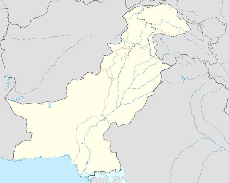
Map of Kulachi, Pakistan
Economy
Kulachi is an agricultural city. The area lies at the foot of the Sulaiman Range and hence is irrigated by flood water from Sulaiman Mountains. The system of irrigation is called Rod Kohi, a system of mountain channels or hill-torrents inundating the whole valley of Damaan ("Rod" means "channel" and "Koh" means "mountain" in Persian). The Rod Kohi system based on "Kulyat Riwajat" (Fromulae and Traditions) governed the irrigation system eversince the Pathan tribes had moved into Damaan. The British officers reduced all these to writing during their Land Settlemts in the later part of nineteenth century. The Bolton Irrigation Notes of 1908 are still considered as the Bible of Rod Kohi Irrigation.