
 | ||
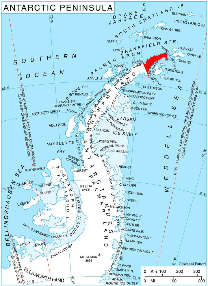
Kukuryak Bluff (Bulgarian: връх Кукуряк, ‘Vrah Kukuryak’ \'vr&h ku-ku-'ryak) is the partly ice-free bluff rising to over 700 m at the end of a ridge descending eastwards from Louis-Philippe Plateau on Trinity Peninsula in Graham Land, Antarctica. It is surmounting Cugnot Ice Piedmont to the southeast.
Contents
The bluff is named after the settlement of Kukuryak in Southern Bulgaria.
Location
Kukuryak Bluff is located at 63°35′53″S 58°10′14″W, which is 3.65 km south of Windy Gap, 13.54 km west-northwest of Kribul Hill, 8.41 km north-northwest of Levassor Nunatak and 6.83 km east-northeast of Hochstetter Peak. Surmounting Cugnot Ice Piedmont to the southeast and southwest. German-British mapping in 1996.
Maps
References
Kukuryak Bluff Wikipedia(Text) CC BY-SA