Population 241 (2006 census) State electorate(s) Blackwood-Stirling Local time Sunday 2:18 AM | Postcode(s) 6290 Postal code 6290 | |
 | ||
Weather 12°C, Wind S at 11 km/h, 66% Humidity Lga Shire of Augusta-Margaret River | ||
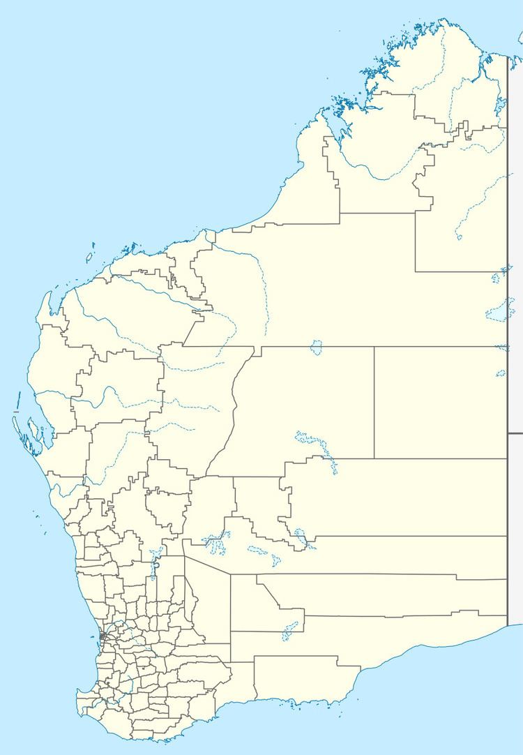
Kudardup is a locality in the South West region of Western Australia. The locality is in the Shire of Augusta-Margaret River and on the Bussell Highway, 312 kilometres (194 mi) south of the state capital, Perth.
Map of Kudardup WA 6290, Australia
In the 1940 and 1950s the local community was an area where farmers were able to work on the War Service Land settlement scheme as well as successfully run dairies
In March 1961 Kudardup was devastated by bushfires. At the 2006 census, Kudardup and the surrounding area had a population of 241.
References
Kudardup, Western Australia Wikipedia(Text) CC BY-SA
