
Country Thailand Time zone ICT (UTC+7) Geocode 4124 Population 21,962 (2005) | Seat Ban Chit Postal code 41130 Area 181.2 km² Province Udon Thani Province | |
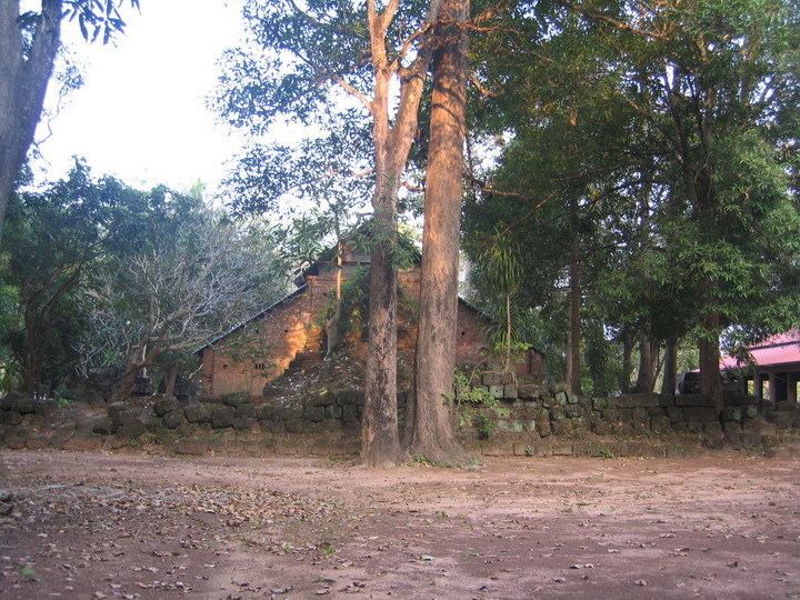 | ||
ban chit ku kaeo district udon thani 41130 thailand
Ku Kaeo (Thai: กู่แก้ว) is a district (amphoe) in central Udon Thani Province, northeastern Thailand.
Contents
- ban chit ku kaeo district udon thani 41130 thailand
- Map of Ku Kaeo District Udon Thani Thailand
- Geography
- History
- Administration
- References
Map of Ku Kaeo District, Udon Thani, Thailand
Geography
Neighboring districts are (from the north clockwise) Nong Han, Chai Wan, Si That, Kumphawapi, and Prachaksinlapakhom.
History
The minor district (king amphoe) was established on 30 April 1994 by splitting it from Nong Han District.
Following a decision of the Thai government on 15 May 2007, all of the 81 minor districts were upgraded to full districts. With publication in the Royal Gazette on 24 August the upgrade became official.
Administration
The district is divided into four sub-districts (tambon), which are further subdivided into 37 villages (muban). There are no municipal (thesaban) areas, and four tambon administrative organizations (TAO).
References
Ku Kaeo District Wikipedia(Text) CC BY-SA