
Local time Saturday 5:25 PM | ||
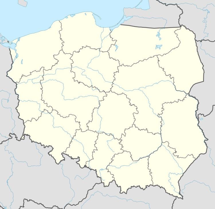 | ||
Weather 3°C, Wind SE at 18 km/h, 91% Humidity Voivodeship Warmian-Masurian Voivodeship | ||
Księży Dwór [ˈkɕɛ̃ʐɨ ˈdvur] (German Fŭrstenhof) is a settlement in the administrative district of Gmina Srokowo, within Kętrzyn County, Warmian-Masurian Voivodeship, in northern Poland, close to the border with the Kaliningrad Oblast of Russia. It lies approximately 3 kilometres (2 mi) south-east of Srokowo, 17 km (11 mi) north-east of Kętrzyn, and 83 km (52 mi) north-east of the regional capital Olsztyn.
Map of Ksi%C4%99%C5%BCy Dw%C3%B3r, Le%C5%9Bniewo, Poland
Before 1945 the area was part of Germany (East Prussia).
References
Księży Dwór, Kętrzyn County Wikipedia(Text) CC BY-SA