
Area 54.3 km² | ||
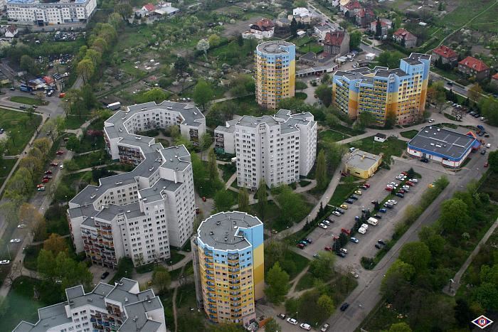 | ||
Krzyki (German: Krietern): is one of the five administrative boroughs (dzielnicas) of Wrocław, Poland. It is located in the south of the city.
Contents
Map of Krzyki, Wroc%C5%82aw, Poland
Krzyki is also the name of one of the settlements within this borough.
Subdivision
The borough is subdivided in the following quarters. In brackets the German names and the year of their incorporation into Wrocław:
Bieńkowice (Benkwitz/1951), Bierdzany (Pirscham/1928), Borek (Kleinburg/1897), Brochów (Brockau/1951), Gaj (Herdain/1904), Huby (Huben/1868), Jagodno (1951), Klecina (Klettendorf/1951), Krzyki (Krietern/1928), Księże Małe i Wielkie (Klein- und Grosstschansch/1928), Lamowice Stare (Alt-Lammerwitz/1951), Nowy Dom (Neuhaus/1928), Ołtaszyn (Oltaschin/1951), Opatowice (Ottwitz/1928), Partynice (Hartlieb/1928), Południe (1868), Przedmieście Oławskie (Ohleviertel/1808), Rakowiec (Morgenau/1904), Świątniki (Schweitnig/1928), Tarnogaj (1904), Wilczy Kąt (Wolfswinkel/1808), Wojszyce (Woischwitz/1951)
Notable residents
Contents [hide]