
Time zone EET (UTC+2) Vehicle registration ΧΝ Area code 28250 | Elevation 184 m (604 ft) Postal code 730 07 Local time Saturday 3:44 PM | |
 | ||
Weather 14°C, Wind NE at 10 km/h, 53% Humidity | ||
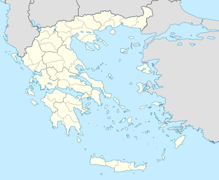
Kryonerida (Greek: Κρυονερίδα) is a former municipality in the Chania regional unit, Crete, Greece. Since the 2011 local government reform it is part of the municipality Apokoronas, of which it is a municipal unit. The municipal unit has an area of 67.561 km2 (26.085 sq mi). The seat of the municipality of Kryonerida was the large village of Vryses. Vryses became the seat of the new municipality Apokoronas. It is located in foothills of the White Mountains (Lefka Ori).
Contents
Map of Kryonerida 730 07, Greece
Subdivisions
The municipal unit Kryonerida is subdivided into the following communities (constituent villages in brackets):
References
Kryonerida Wikipedia(Text) CC BY-SA