Width 38 km (23.6 mi) | Length 77 km (47.8 mi) | |
 | ||
Adjacent bodies of water Lauritzen Bay, Southern Ocean | ||
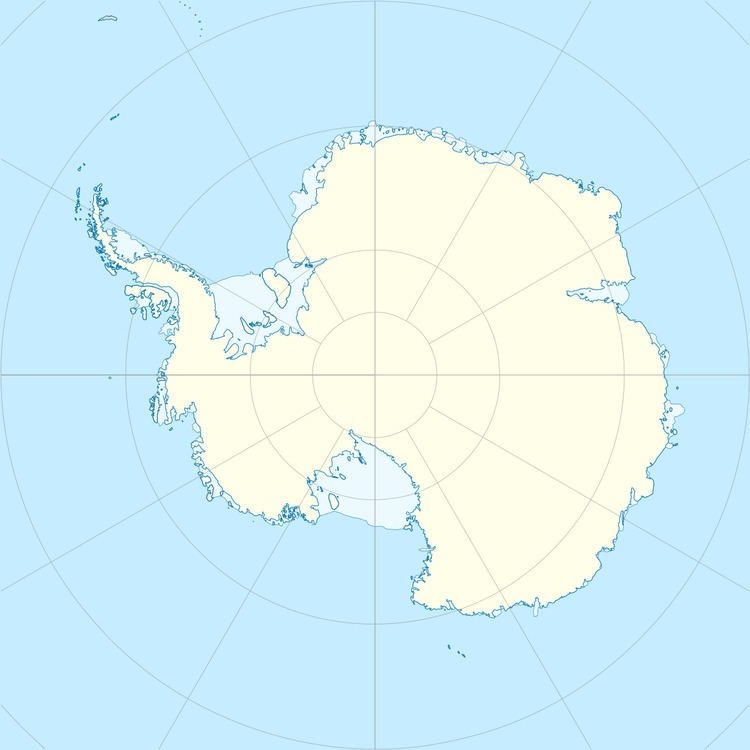
Krylov Peninsula is an ice-covered peninsula west of Lauritzen Bay on Oates Coast, Antarctica. It was photographed by U.S. Navy Operation Highjump (1946–47), the Soviet Antarctic Expedition (1957–58), and the Australian National Antarctic Research Expeditions (1959). It was named by the Soviet expedition after Soviet mathematician and academic naval architect Alexei Krylov.
References
Krylov Peninsula Wikipedia(Text) CC BY-SA
