
Postal code 431 91 Elevation 680 m | Region Ústí nad Labem Time zone CET (UTC+1) Vehicle registration U Area 68.42 km² | |
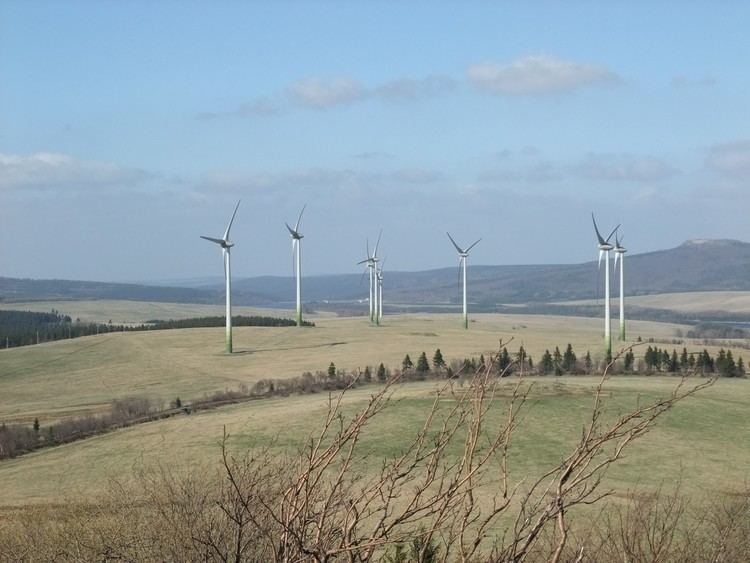 | ||
Farma v trn ch elektr ren kry tofovy hamry
Kryštofovy Hamry (German: Christophhammer) is a village and municipality (obec) in Chomutov District in the Ústí nad Labem Region of the Czech Republic.
Contents
- Farma v trn ch elektr ren kry tofovy hamry
- Map of 431 91 KryC5A1tofovy Hamry Czechia
- Skautsk ta bor kry tofovy hamry
- References
Map of 431 91 Kry%C5%A1tofovy Hamry, Czechia
The municipality covers an area of 68.42 square kilometres (26.42 sq mi), and has a population of 96 (as at 28 August 2006).
Kryštofovy Hamry lies approximately 19 kilometres (12 mi) west of Chomutov, 67 km (42 mi) west of Ústí nad Labem, and 102 km (63 mi) north-west of Prague.
Skautsk ta bor kry tofovy hamry
References
Kryštofovy Hamry Wikipedia(Text) CC BY-SA